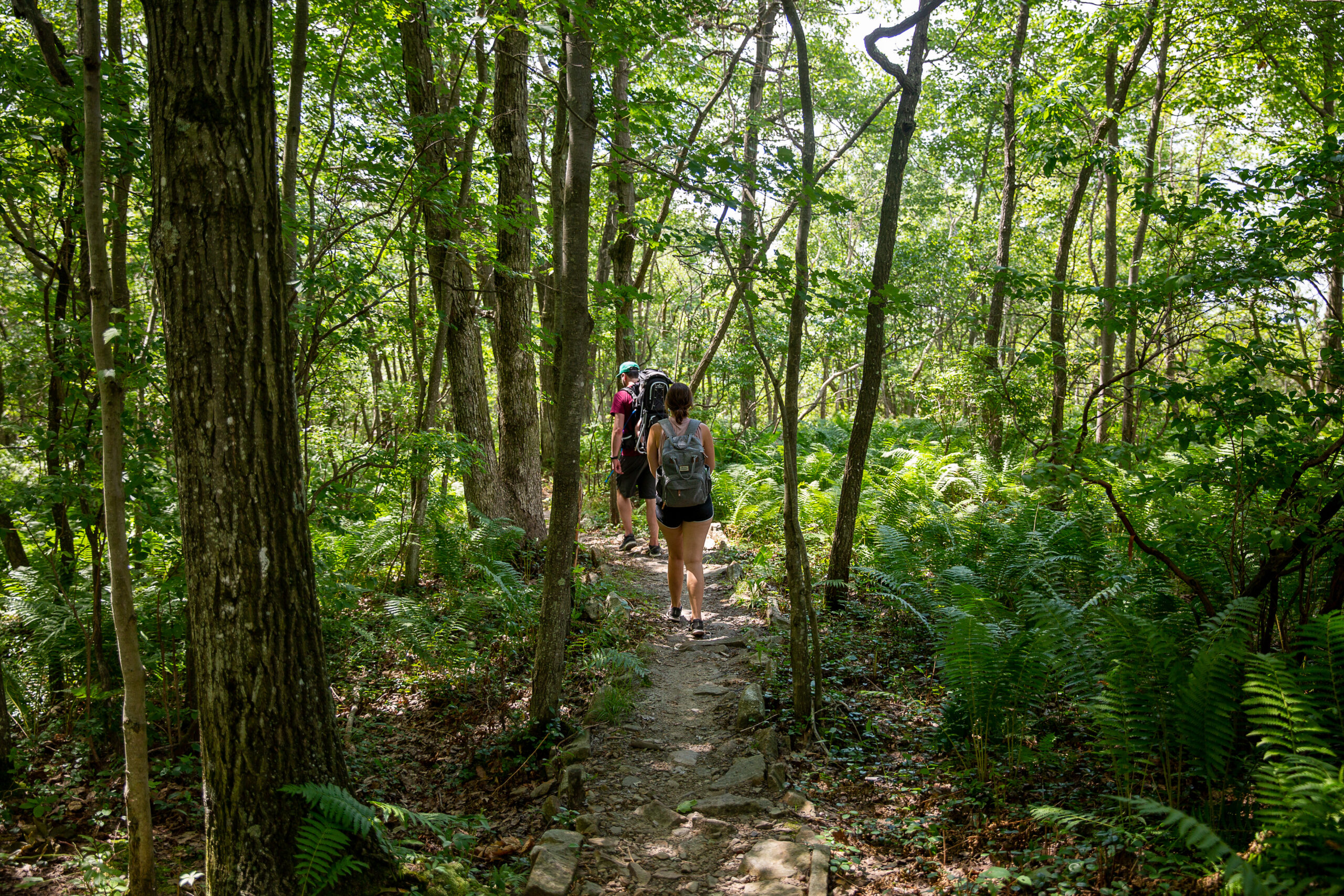
Eales Preserve. Photo by Rebekah Smith. Used with permission, Lackawanna County.
WeConservePA GIS Specialist Irina Beal developed an ArcGIS StoryMap experience for anyone considering coming to the Pennsylvania Greenways & Trails Summit in Scranton September 17-19.
The story map creates an interactive GIS map web experience, allowing visitors to explore the area around Scranton for Summit highlight areas (including mobile seminars), parks, all sorts of trails: walking, biking, equestrian, motorized, and water trails. Additionally, the story map highlights major event partners and sponsors and includes a polished regional highlight reel video from event title sponsor Discover NEPA.
If anyone was leaning towards coming to the Summit but looking for more info that would tip the scales and convince them to come to the event, this story map is a great place to begin!
For more information on the 2023 Pennsylvania Greenways & Trails Summit, visit the Summit webpage.


